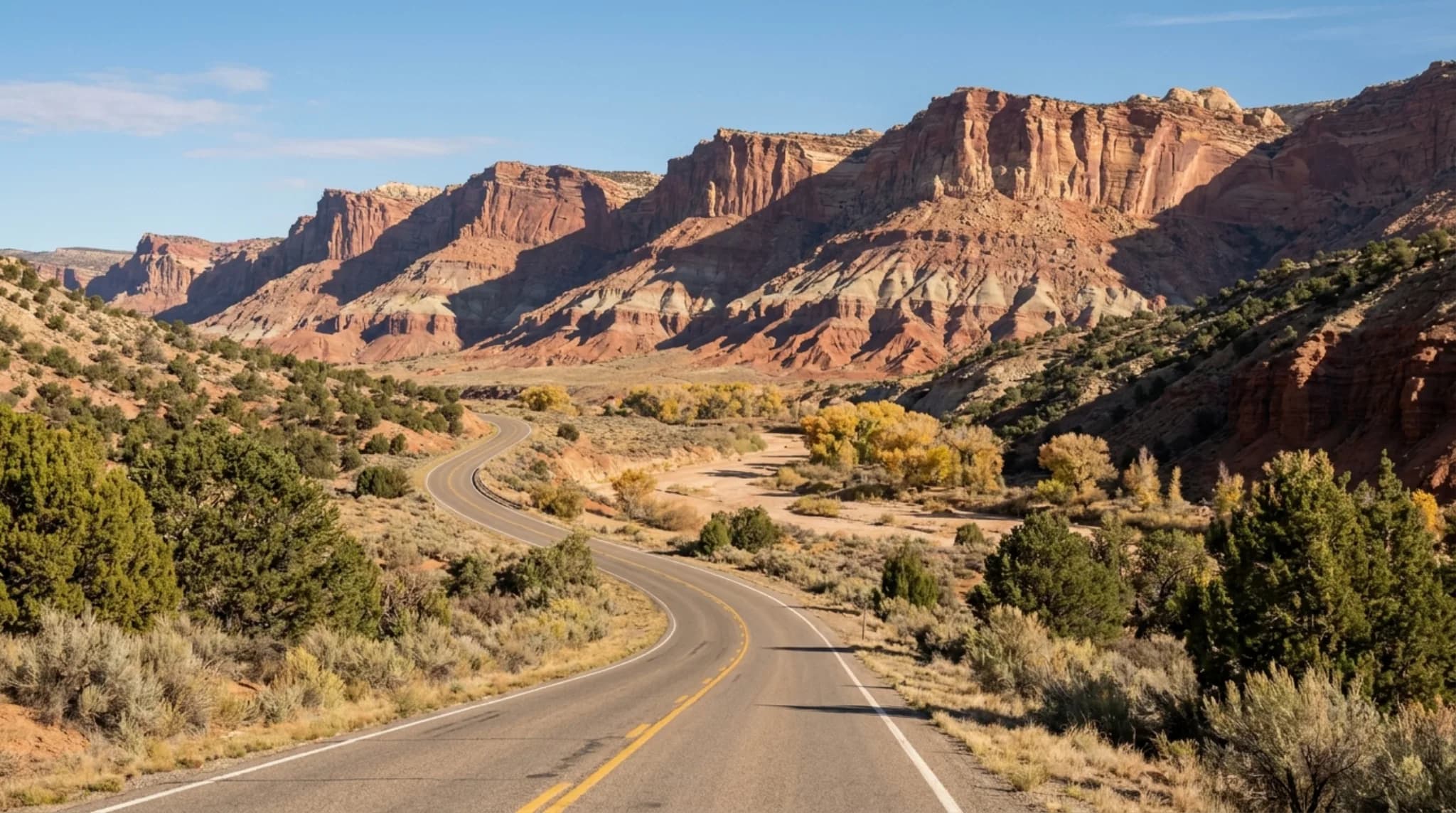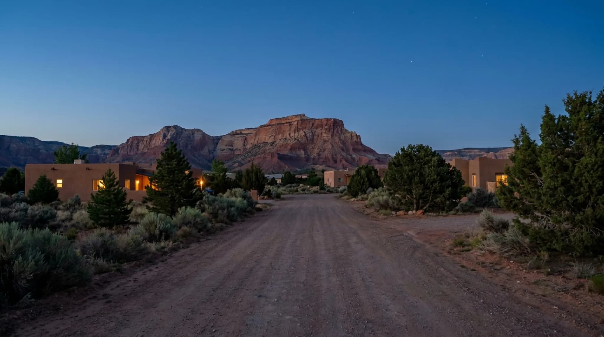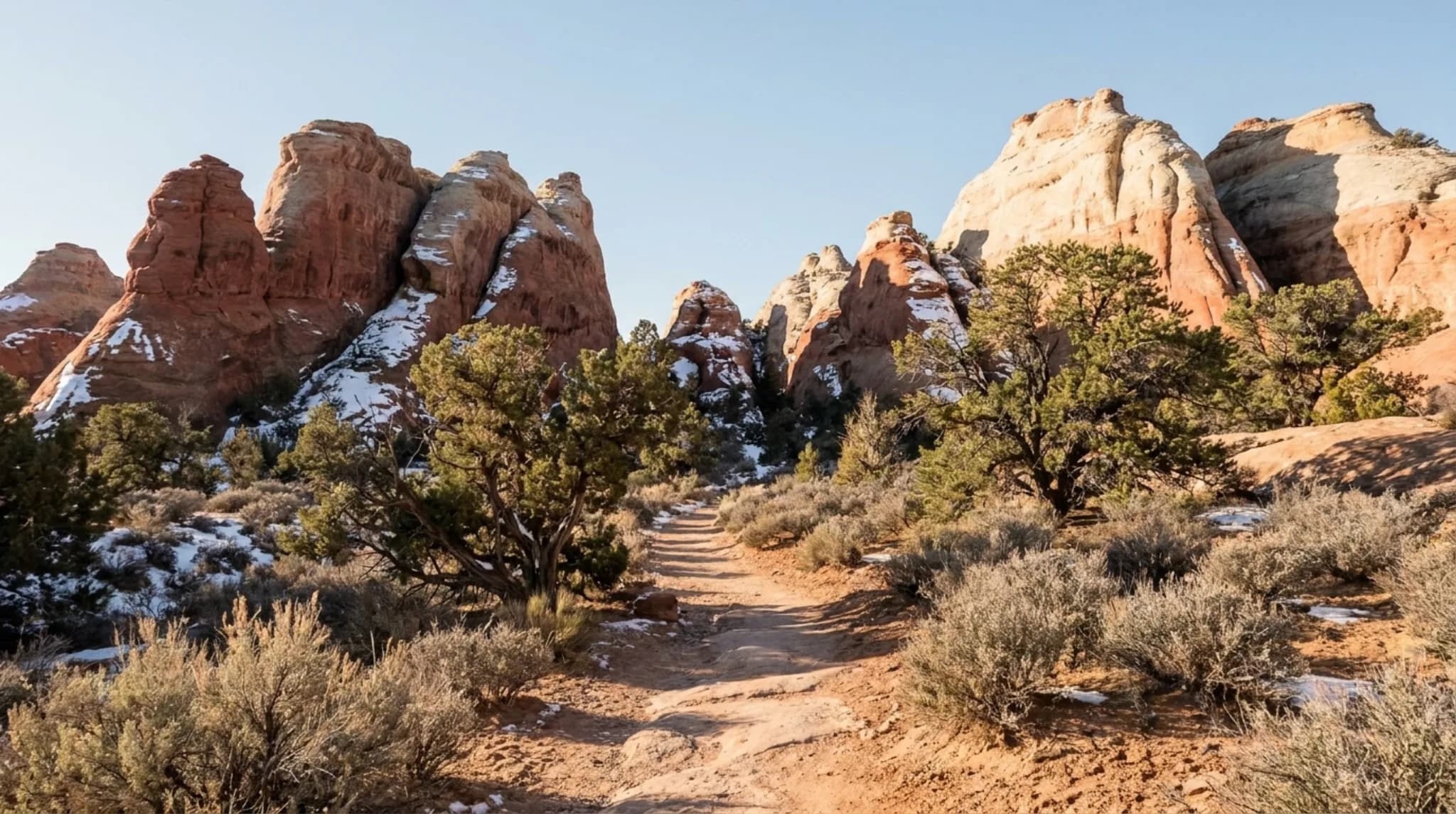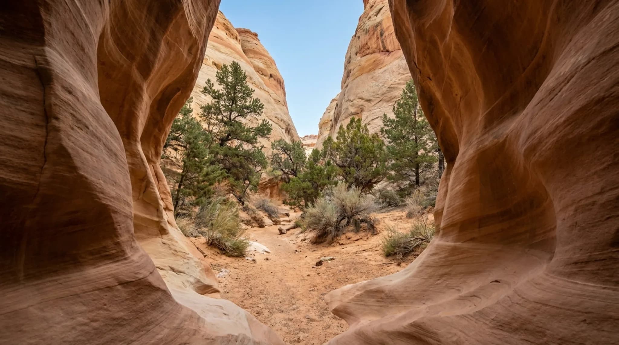
Capitol Reef packs fifteen day hikes, a 7.9-mile scenic drive, a historic orchard district you can pick fruit in, Fremont petroglyph panels, and two remote backcountry districts into 243,921 acres. A first visit realistically covers the Scenic Drive, one or two short hikes, and the Fruita historic area. What separates Capitol Reef from the other Utah parks is what happens after dark — it is a certified International Dark Sky Park, and far fewer people stay the night than at Zion or Bryce.
There is one thing worth knowing before you plan anything, because it will otherwise cost you: the park's trail table lists one-way distances, not round-trip. More on that below, with the numbers.
Every Day Hike, with Real Distances
The National Park Service trail guide lists fifteen day hikes in the Fruita area. Here they are in full, in the park's own figures.
Easy
| Trail | Listed | Elevation change | What you see |
|---|---|---|---|
| Goosenecks | 0.1 mi (0.2 km) | Under 50 ft (15 m) | Dramatic canyon views |
| Sunset Point | 0.4 mi (0.6 km) | Under 50 ft (15 m) | Panorama, good for sunset |
| Capitol Gorge | 1.0 mi (1.6 km) | 80 ft (24 m) | Deep canyon, historic inscriptions, short climb to waterpockets |
| Grand Wash | 2.2 mi (3.6 km) | 200 ft (61 m) | Deep canyon, narrows |
Moderate
| Trail | Listed | Elevation change | What you see |
|---|---|---|---|
| Hickman Bridge | 0.9 mi (1.4 km) | 400 ft (122 m) | 133-foot natural bridge, canyon views |
| Fremont River | 1.0 mi (1.7 km) | 480 ft (146 m) | River stroll, then steep climb to panoramas |
| Cohab Canyon | 1.7 mi (2.7 km) | 440 ft (134 m) | Hidden canyons, views of Fruita, spur-trail viewpoints |
Strenuous
| Trail | Listed | Elevation change | What you see |
|---|---|---|---|
| Cassidy Arch | 1.7 mi (2.7 km) | 670 ft (204 m) | Deep canyon, natural arch, slickrock |
| Golden Throne | 2.0 mi (3.2 km) | 730 ft (223 m) | Views of Capitol Gorge and the Golden Throne |
| Fremont Gorge Overlook | 2.3 mi (3.6 km) | 1,090 ft (332 m) | Climb to open mesa top, viewpoint on the gorge rim |
| Rim Overlook | 2.3 mi (3.6 km) | 1,110 ft (338 m) | Panoramas of Fruita and the Waterpocket Fold |
| Frying Pan | 2.9 mi (4.6 km) | 810 ft (247 m) | Connects Cohab Canyon and Cassidy Arch, ridgetop panoramas |
| Chimney Rock Loop | 3.6 mi (5.9 km) | 590 ft (180 m) | Waterpocket Fold cliffs, good for sunset |
| Old Wagon Trail Loop | 3.8 mi (6.1 km) | 1,080 ft (329 m) | Pinyon-juniper forest, cliffs and Henry Mountains |
| Navajo Knobs | 4.7 mi (7.6 km) | 1,620 ft (494 m) | Continues Rim Overlook to a 360-degree panorama |
- Navajo Knobs
- 1,620 ft
- Rim Overlook
- 1,110 ft
- Fremont Gorge Overlook
- 1,090 ft
- Old Wagon Trail Loop
- 1,080 ft
- Frying Pan
- 810 ft
- Golden Throne
- 730 ft
- Cassidy Arch
- 670 ft
- Chimney Rock Loop
- 590 ft
- Fremont River
- 480 ft
- Cohab Canyon
- 440 ft
- Hickman Bridge
- 400 ft← most popular
- Grand Wash
- 200 ft
- Capitol Gorge
- 80 ft
- Goosenecks
- 50 ftunder 50
- Sunset Point
- 50 ftunder 50
From the National Park Service trail guide. Distance is not the useful signal at Capitol Reef: Navajo Knobs and Old Wagon Trail Loop are both long, but Fremont Gorge Overlook and Rim Overlook climb nearly as much in under half the distance. Sort by climb, not miles.
The Scenic Drive
The Scenic Drive is 7.9 miles (12.7 km) of paved road, suitable for passenger vehicles, and takes about an hour and a half round trip when you include the two dirt spurs.
Those spurs — Grand Wash and Capitol Gorge — are usually suitable for passenger cars and RVs up to 27 feet (8.2 m). Both, and the main road, can close due to snow, ice, mud and flash floods. Check at the visitor center or call 435-425-3791 before committing to them.
An entrance fee applies. See the visitor center guide for the full fee table and pass options.
Fruita: Orchards, Petroglyphs and the Schoolhouse
The Fruita historic district is the green heart of the park and the reason Capitol Reef feels different from the red-rock parks to the west.
The orchards
About 2,000 trees — cherries, apricots, peaches, pears, apples, plums, mulberries, almonds and walnuts — open for picking seasonally as each crop ripens. Which orchards are open changes week to week; ask at the visitor center.
Petroglyph panels
Fremont Culture rock art, viewable from a boardwalk off Highway 24.
Historic schoolhouse
One of the surviving buildings from the Mormon settlement that farmed this valley.
Gifford House
Store and museum known for pie and cinnamon rolls. March 14 to late November, daily 9:00 am to 4:30 pm — shut for winter.
Cathedral Valley and the Waterpocket District
Two districts hold most of the park's area and almost none of its visitors.
Cathedral Valley is the remote, rugged northern section — monolith formations, long views, and genuine solitude. The Waterpocket District is the less-visited southern end, where the Waterpocket Fold itself is most dramatic. The Fold is the hundred-mile wrinkle in the earth's crust that the whole park exists to protect.
Overnight trips in these areas need a free backcountry permit, arranged at the visitor center. Canyoneering and rock climbing permits are also free.
Stargazing and Ranger Programs
Capitol Reef is a certified International Dark Sky Park, and Torrey — the gateway town — is a certified International Dark Sky Community. That combination is rare: the protection continues past the park boundary into the place most visitors actually sleep.
The Park Service runs ranger-guided walks, talks, evening programs and astronomy programs through the year, and star charts are available. Because the park's overnight visitation is low compared with Zion or Bryce, the sky here is quiet in a way those parks no longer are.
Winter has the longest nights and the driest, clearest air — the best sky conditions of the year, and the season when almost nobody is here. Our guide to stargazing from a dome covers what changes when you watch from a heated bed rather than standing in the cold.
Other activities the park lists: wildlife viewing, horseback riding, rock climbing, and a Junior Ranger programme with booklets from the visitor center.
One Day in Capitol Reef
A workable single day
- MorningVisitor center, then Hickman Bridge
- MiddayFruita — petroglyphs, schoolhouse, orchards in season
- AfternoonScenic Drive with Grand Wash or Capitol Gorge
- Late afternoonPie at the Gifford House, in season
- SunsetSunset Point or Chimney Rock Loop
- After darkStay out. This is the part people skip.
Pack lunch — there is nowhere inside the park to buy a meal. See where to eat in Torrey for the options outside it.
Two or Three Days
With a second day, add a strenuous trail — Rim Overlook or Navajo Knobs for the panoramas, Cassidy Arch for the arch itself. With a third, commit a full day to Cathedral Valley if you have the vehicle for it, or drive Highway 12 over Boulder Mountain, which is one of the better roads in the state.
Three days is also what it takes to catch the sky properly. One clouded night out of one is a wasted trip; one out of three is a rain check.
Frequently Asked Questions
What are the best things to do in Capitol Reef National Park?
The core of a first visit is the 7.9-mile Scenic Drive, a short hike such as Hickman Bridge or Grand Wash, the historic Fruita district with its orchards and petroglyph panels, and stargazing after dark — Capitol Reef is a certified International Dark Sky Park. With more time, the remote Cathedral Valley and Waterpocket districts open up.
How many hiking trails are there at Capitol Reef?
The National Park Service trail guide lists fifteen day hikes in the Fruita area, ranging from the 0.1-mile Goosenecks viewpoint to the 4.7-mile Navajo Knobs trail. Four are rated easy, three moderate and eight strenuous.
Are Capitol Reef trail distances one-way or round-trip?
The National Park Service trail guide table lists one-way distances for out-and-back trails, which catches people out. Its Hickman Bridge listing reads 0.9 miles, but the park's own trail page describes that hike as 2 miles round-trip. Double the listed figure for out-and-back hikes. The two trails named Loop are already total distances.
What is the easiest hike in Capitol Reef?
Goosenecks, at 0.1 miles one-way with under 50 feet of elevation change, is the shortest walk to a dramatic canyon view. Sunset Point at 0.4 miles and Grand Wash at 2.2 miles are the other easy options, along with Capitol Gorge at 1.0 mile.
Can you pick fruit at the Capitol Reef orchards?
Yes, seasonally. The historic Fruita orchards contain about 2,000 trees — cherries, apricots, peaches, pears, apples, plums, mulberries, almonds and walnuts — and open for picking when each crop ripens. Which orchards are open changes through the season, so check at the visitor center on the day.
Do you need a permit for the Capitol Reef backcountry?
A free backcountry permit is required for overnight stays in remote areas. Permits cost nothing and are arranged at the visitor center, as are the free canyoneering and rock climbing permits.
Trail distances, elevation changes, difficulty ratings, orchard details, district descriptions and permit rules are from the National Park Service. Trail and road conditions change with weather — confirm at the visitor center or on 435-425-3791 before you set out.
Staying to see the sky? We run rooms and tempered-glass geodesic domes near the park in Torrey, Utah, under a certified International Dark Sky Park. See where to stay, or join the list for dark sky nights and trip-planning notes.
More guides
- Capitol Reef Visitor Center -- Hours, fees, and what to do first.
- Torrey, Utah Restaurants -- Every place to eat, and what closes in winter.
- What to Pack -- Layers, boots and the things people forget.