The Great Western Trail is a 4,455-mile trail system running through Arizona, Utah, Idaho, Wyoming and Montana. It is a corridor of connected routes rather than one continuous path, and use varies by segment — some portions are non-motorized, others are developed for OHV travel. Utah designated its share the state's Centennial Trail in 1996. Two of its segments frame Capitol Reef country: roughly 125 miles through Dixie National Forest over the Boulder Mountains, and about 75 miles running north from Torrey through Fishlake National Forest.
Most people who have heard of the Great Western Trail picture a long-distance hiking route. That is only part of it. The GWT is better understood as a managed corridor stitched together from existing forest roads and trails, where the use designation changes as you move between districts — which is exactly why the maps matter more here than on a conventional trail.
What It Actually Is
The trail runs through Arizona, Utah, Idaho, Wyoming and Montana — a north-south corridor spanning the Intermountain West. It is not a single tread built end to end. It is a designated route that links existing roads, forest trails and two-tracks, which is why its character changes so much from one segment to the next: alpine singletrack in one forest, graded dirt road in another.
That structure has one practical consequence worth internalising before any trip. There is no single authority, single map, or single set of rules for the whole trail. Each managing forest sets its own designations.
Utah's Centennial Trail
In 1996, as part of the Statehood Centennial, Utah designated the Great Western Trail as the state's Centennial Trail. That designation is a recognition of the corridor's significance rather than a change to how any particular segment is managed — the use rules still come from the forest you are standing in.
The Segments near Capitol Reef
Two documented sections bracket this part of the state.
The two segments framing Capitol Reef country
- Dixie National Forest~125 miles
- RouteNortheast from south of Bryce Canyon, through the Escalante Mountains
- ThenAlong the southern edge of the Aquarius Plateau, over the Boulder Mountains
- Fishlake National Forest~75 miles north from Torrey
- ToThe Manti-La Sal National Forest boundary
- OHV contextFishlake has ~2,700 mi of trails and roads open to OHV use
The Dixie National Forest section runs roughly 125 miles, starting at the forest's southwestern corner south of Bryce Canyon National Park and heading northeast through the Escalante Mountains. It then skirts the southern edge of the Aquarius Plateau and crosses the Boulder Mountains before dropping into Fishlake National Forest.
The Fishlake National Forest section picks it up and runs about 75 miles north from Torrey to the Manti-La Sal boundary. Fishlake as a whole carries approximately 2,700 miles of trails and roads available for OHV use, so the GWT here is one thread in a much larger motorized network.
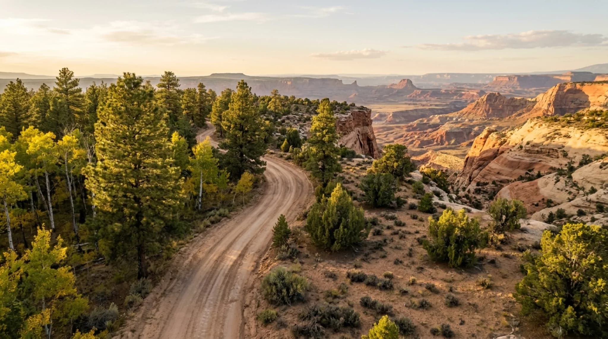
This matters geographically. Capitol Reef sits in the low country along the Fremont River; the Great Western Trail runs through the high forested country immediately above and north of it. A trip based near Torrey can put the national park and the high-country trail network within the same day.
Motorized versus Non-Motorized
The single most common misunderstanding about the GWT is assuming it is uniformly open to OHVs. It is not.
Some segments are non-motorized. Some are developed for motorized use. The designation belongs to the segment, not the trail as a whole, and it can change at a forest or district boundary without anything obvious on the ground marking the transition.
Beyond motorized use, segments variously serve hiking, mountain biking and horseback travel. It is a shared corridor, which is another argument for knowing the rules of the specific stretch you are on.
When to Ride
The Utah segments near Capitol Reef are high country. The Boulder Mountains and the Aquarius Plateau sit well above the valley floor, and elevation — not the calendar — sets the season. Snow lingers on high routes long after the desert below has warmed, and afternoon thunderstorms are a summer feature at altitude.
The practical consequence: the riding window up top is shorter than the visiting window down in the park. Someone staying near Torrey in April may find Capitol Reef in ideal condition and the high GWT segments still under snow.
Check current conditions with the managing forest before committing to a route.
Maps and Planning
Because the corridor crosses multiple forests with different rules, the authoritative sources are the forests themselves:
- Fishlake National Forest — for the segment running north from Torrey
- Dixie National Forest — for the Boulder Mountain and Escalante Mountains segment
- Motor Vehicle Use Maps — the legal authority on where motorized travel is allowed
Third-party mapping apps carry GWT segments, including a documented stretch near Bicknell, but they reflect what users have recorded rather than what is currently designated. Use them for terrain and orientation, and the MVUM for legality.
Frequently Asked Questions
What is the Great Western Trail?
The Great Western Trail is a 4,455-mile trail system running through Arizona, Utah, Idaho, Wyoming and Montana. It is a corridor of connected routes rather than a single continuous path, and different segments are managed for different uses — some are non-motorized, others are developed for motorized OHV use. In 1996 Utah designated its portion the state's Centennial Trail for the Statehood Centennial.
Can you ride an OHV on the Great Western Trail?
On some segments, yes. The trail is mixed-use by design — certain portions are developed for motorized use while others are non-motorized. Motorized use is available on portions crossing Fishlake National Forest, which has roughly 2,700 miles of trails and roads open to OHVs. Always check the current motor vehicle use map for the specific forest before riding.
Where does the Great Western Trail run near Capitol Reef?
Two segments frame Capitol Reef country. In Fishlake National Forest the trail runs about 75 miles north from Torrey to the Manti-La Sal National Forest boundary. In Dixie National Forest it covers roughly 125 miles, running northeast from south of Bryce Canyon through the Escalante Mountains, along the southern edge of the Aquarius Plateau, and over the Boulder Mountains into Fishlake.
How long is the Great Western Trail in Utah?
Utah holds a substantial share of the 4,455-mile system. Two documented sections alone account for about 200 miles near Capitol Reef — roughly 125 miles through Dixie National Forest and about 75 miles running north from Torrey through Fishlake National Forest.
Is the Great Western Trail open year-round?
No. The Utah segments near Capitol Reef cross high country including the Boulder Mountains and the Aquarius Plateau, and high-elevation routes carry snow well into spring. Riding seasons are set by conditions rather than dates, so check with the relevant national forest before planning a trip.
Where can you get a Great Western Trail map?
The managing national forests publish the authoritative maps, since the trail crosses several of them and use designations differ by segment. For the Capitol Reef area that means Fishlake National Forest and Dixie National Forest. Their motor vehicle use maps are what determine where motorized travel is legal.
Trail length, state coverage, the 1996 Centennial Trail designation, and the Dixie and Fishlake segment descriptions come from the USDA Forest Service. Use designations change — the managing forest's Motor Vehicle Use Map is the only authority on where motorized travel is legal.
Staying in Capitol Reef country? We run rooms and tempered-glass geodesic domes near the park in Torrey, Utah, under a certified International Dark Sky Park. See where to stay, or join the list for trip-planning notes.
More guides
- Things to Do in Capitol Reef -- Every trail, drive and site.
- Capitol Reef Visitor Center -- Hours, fees, and what to do first.
- What to Pack -- Layers, boots and the things people forget.